Land Survey
Services
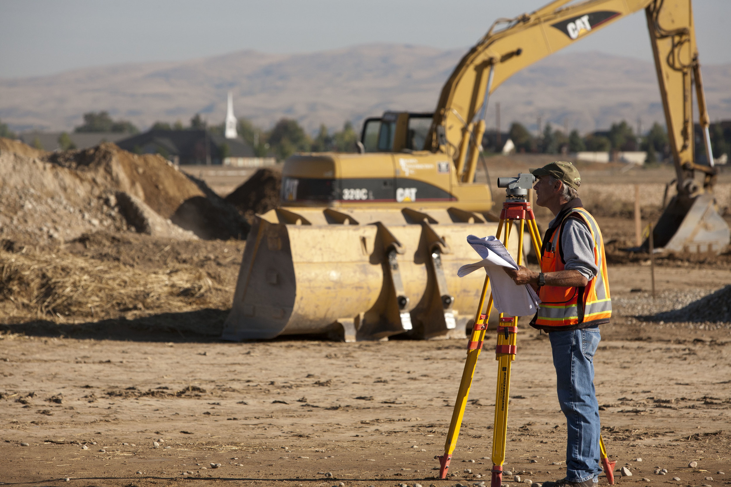
The Land Group offers a wide range of land survey services in our office, which include Cadastral Survey, Engineering Survey, Topographic Survey, Boundary Survey, Construction Survey, Remove Sensing Survey, and ALTA Survey. Our firm has done more than 200 survey projects in Treasure Valley. Our experience includes, but is not limited to, the following projects:
CCDC - Central Addition Topography
Simplot Farms - 2,800 Acre Survey; Melba, Idaho
The Village at Meridian - Boundary & Construction Staking; Meridian, Idaho
Idaho Youth Ranch-Middleton, Idaho
Paramount Subdivision – 32 Phases of Platting; Meridian, Idaho
Somerset Ridge Subdivision – Foothills Boundary, Platting, & Construction Staking
Afton Condominiums - Downtown Boise, Idaho
Duck Valley Shopai Indian Reservation
Four Solar Farms-Idaho – Boundary, Topography, & ALTA Surveys
Marianne Williams Park-Boise, Idaho
War Eagle Mountain/Silver City – Patented Mining Claim Retracement/Staking & Tunnel Topography
St. Luke’s Hospitals, Southern Idaho
Albertson’s Stores– Boundary, Topography & Construction Staking; Southern Idaho
Washington Group Plaza – Boundary & ALTA Surveys
Bogus Basin – Boundary, Topography, & Construction Staking; Boise Idaho
Clearwater Paper – Boundary, Topography, & ALTA Surveys; Lewiston Idaho
Plantation Golf Course – Boundary & ALTA Survey; Boise Idaho
McCall Hospital – Boundary & Topography Survey; McCall Idaho
JUMP - Site, ALTA, & Condominium; Boise, Idaho
Micron Semiconductor – 2,000 acre ALTA Survey; Boise, Idaho
Equipment
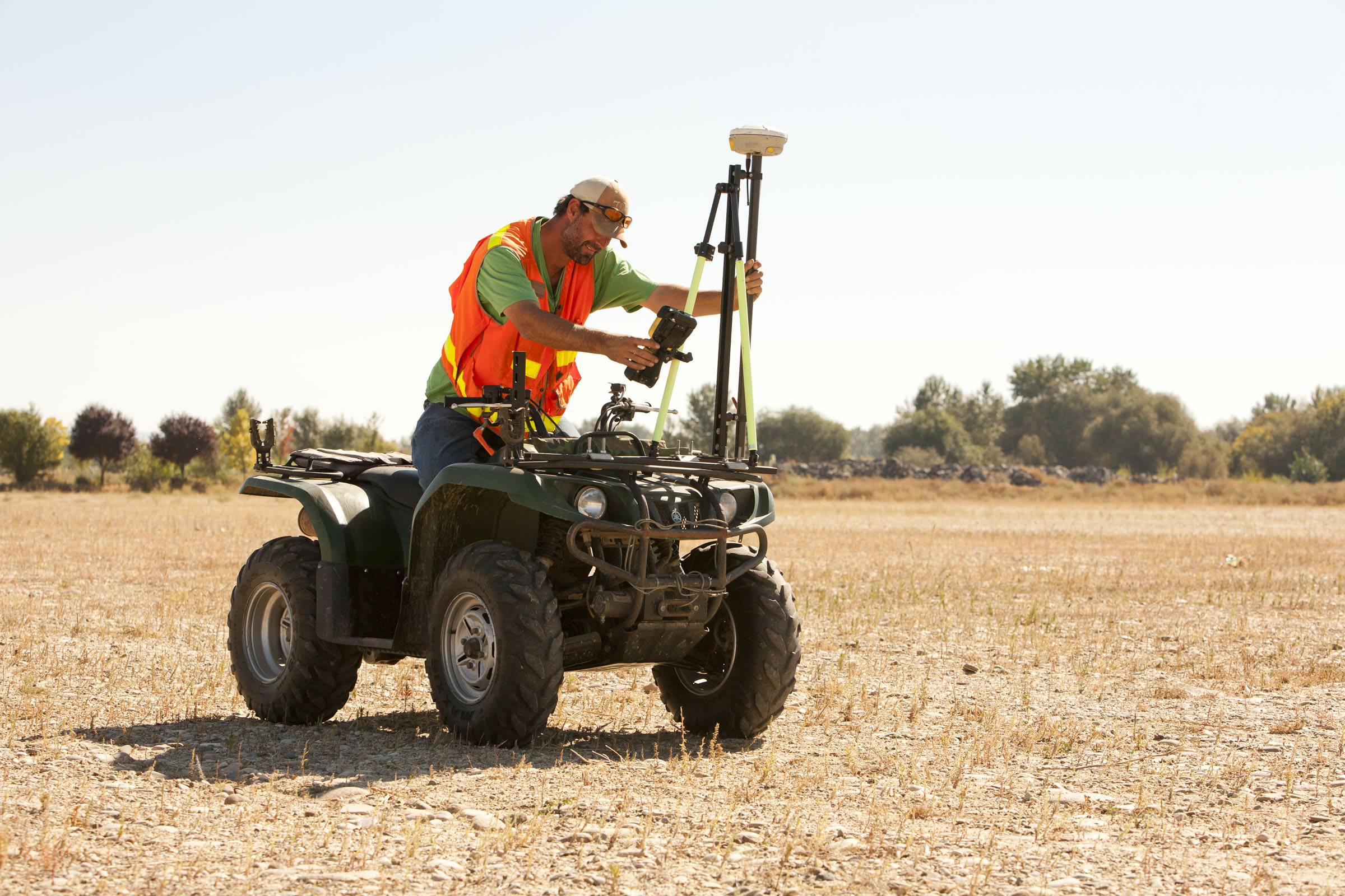
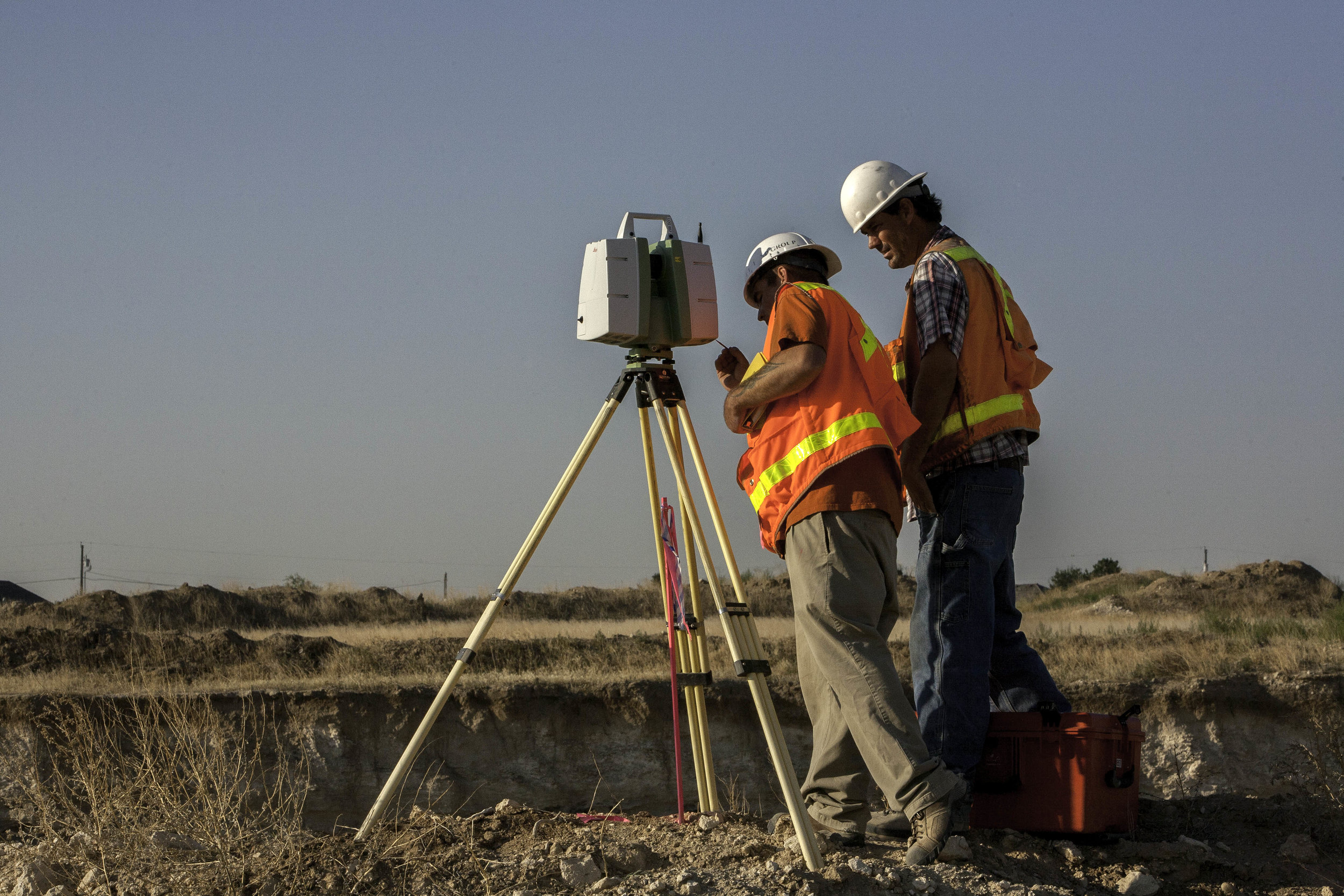
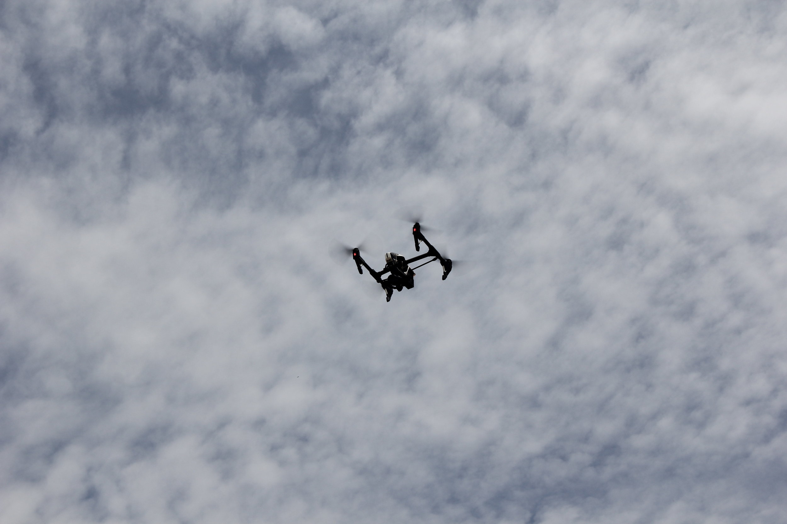
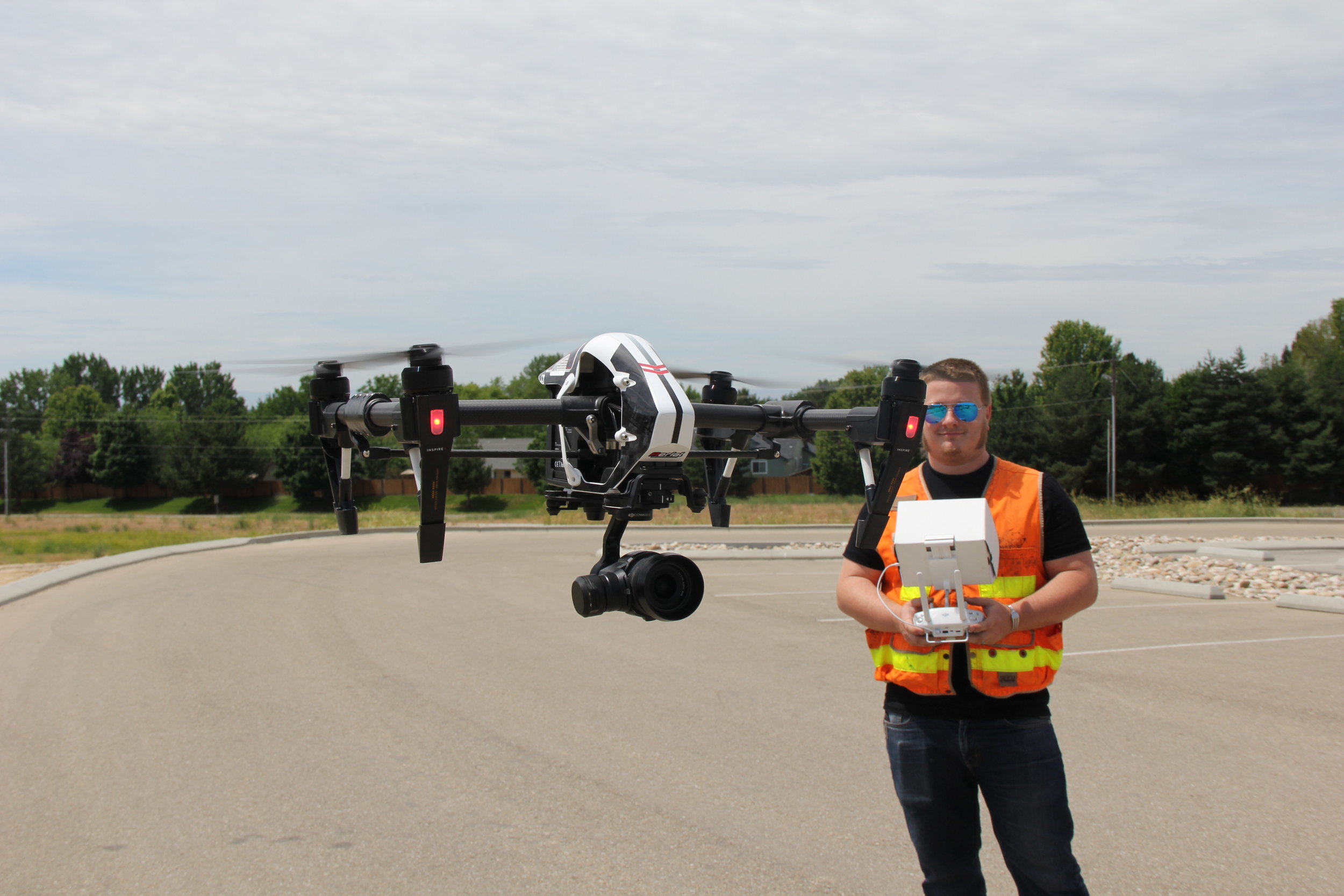
Since many of our projects rely on the initial creation of accurate ground data, The Land Group believes that the precision of ground data acquisition is fundamental in the success of our team. With that mindset, we implement the latest cutting edge survey technologies. Along with our top of the line GPS systems and Robotic Total Stations. The Land Group also employs Unmanned Aerial Systems to give them the technological advantage needed to keep up with the ever increasing demand for ultra-high precision ground data.
